Tanzania sits just south of the equator, but calling it “tropical” doesn’t tell you much.
After 14 years of living in Arusha, I can tell you that the climate here has very little in common with what most people imagine when they think of equatorial Africa.
The country spans from sea level to 5,895 meters at the summit of Kilimanjaro, and that altitude range is what really shapes the weather.
On any given morning in July, you could be shivering at 8°C on the Ngorongoro Crater rim while the coast of Zanzibar sits at a comfortable 28°C.
Understanding Tanzania’s climate matters for one practical reason: it affects what you’ll experience on the ground, whether that’s a safari, a trek, or a week on the beach.
This guide breaks down the key data: temperatures, rainfall, seasons, and regional differences, so you can plan with actual numbers, not vague descriptions.
Key Climate Data
Tanzania’s climate is primarily tropical but heavily modified by altitude.
Most of the country’s interior sits on a plateau at 900–1,500 m, with mountain ranges climbing to 2,100–3,000 m and Kilimanjaro topping out at 5,895 m.
That elevation gradient creates dramatically different conditions across relatively short distances.
Average Temperatures
Annual averages vary enormously depending on where you are:
| Zone | Altitude | Avg Annual Temp | Typical Range |
|---|---|---|---|
| Coast & Islands (Zanzibar, Dar) | Sea level | 26°C (78°F) | 23–32°C |
| Central Plateau (Dodoma) | 900–1,200 m | 23°C (73°F) | 18–30°C |
| Northern Safari Circuit (Serengeti) | 1,100–1,500 m | 22°C (71°F) | 14–29°C |
| Highlands (Arusha, Ngorongoro) | 1,350–2,300 m | 18–20°C | 8–28°C |
| Mountain Zones (Kilimanjaro) | 4,000–5,895 m | Below 0°C | -29°C to 10°C |
The takeaway: altitude matters more than latitude.
The Serengeti and Zanzibar are at roughly the same latitude, but you’ll want a fleece jacket for early morning game drives in the Serengeti and a swimsuit for Zanzibar.
I’ve seen travelers land in Arusha in July wearing shorts and sandals, expecting tropical heat, and regretting it by the next morning’s 6 AM game drive.
Rainfall
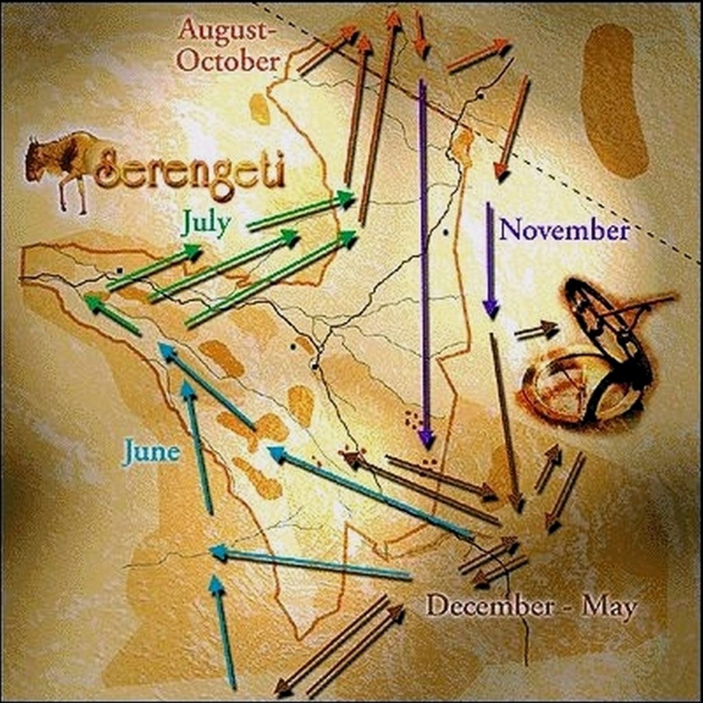
Tanzania receives most of its rain in two distinct wet seasons in the North and one longer wet season in the South.
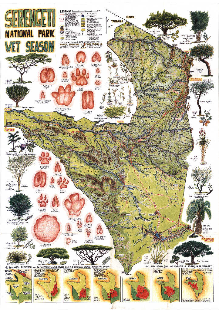
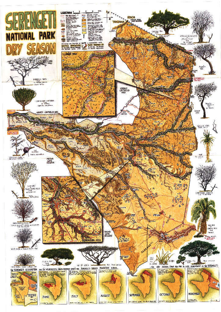
Only about half the country gets more than 750 mm of rain per year. The distribution is uneven. Even within the Serengeti, rainfall ranges from under 800 mm in the semi-arid South-East near Olduvai Gorge to about 1,400 mm in the North near the Mara River.
Northern Tanzania (where most safaris take place) follows a bimodal rainfall pattern: two rainy seasons separated by two dry seasons.
The South and West follow a unimodal pattern with a single, longer rainy season.
Rainfall data based on WMO and CRU records:
| Season | Months | Rainfall Character | Serengeti | Arusha |
|---|---|---|---|---|
| Long Dry Season | Jun–Oct | Few to no rain | 15–55/mo | 15–45/mo |
| “vuli” (Short Rains) | Nov–Dec | Afternoon showers | 105–115/mo | 90–120/mo |
| “kiangazi” (Short Dry) | Jan–Feb | Break between rains (north) | 80–100/mo | 65/mo |
| “masika” (Long Rains) | Mar–May | Heaviest, especially April | 90–155/mo | 135–340/mo |
One thing the data doesn’t show: even during the rainy seasons, it rarely rains all day, and the temperature is pleasant.
Mornings are usually clear. The typical pattern is sunshine until early afternoon, then a heavy downpour for an hour or two, then it clears again. Game drives in the morning are often unaffected.
Temperatures Month by Month
Tanzania doesn’t experience traditional four-season temperature swings like North America or Europe. Instead, temperature patterns follow the four climate seasons. Here’s what to expect in the main safari and travel areas.
Long Dry Season (June–October)
The cooler, driest time of year. Mornings are cold at altitude, genuinely cold, not just “a bit fresh.” Afternoons warm up under clear skies.
- June: 15–27°C (Serengeti), 14–22°C (Arusha). Dry season begins. Crisp mornings.
- July: 14–26°C (Serengeti), 13–23°C (Arusha). Coldest month. Ngorongoro rim drops below 10°C at night.
- August: 15–27°C (Serengeti), 14–24°C (Arusha). Still cool, slightly warming. Very dry.
- September: 15–28°C (Serengeti), 14–26°C (Arusha). Warming steadily. Driest month in many areas.
- October: 16–29°C (Serengeti), 16–27°C (Arusha). Warm days, increasingly humid. Rains approaching.
Short Rains / “vuli” (November–December)
Rain returns in short, manageable bursts. Temperatures rise. The landscape transforms from brown to green within days.
- November: 16–28°C (Serengeti), 16–27°C (Arusha). Rain starts, timing unpredictable. Migratory birds arrive.
- December: 16–28°C (Serengeti), 16–27°C (Arusha). Warm and intermittently wet. Green season begins.
Short Dry Season / “kiangazi” (January–February)
A break between the two rainy seasons, most noticeable in northern Tanzania. These are the hottest months of the year, particularly at lower altitudes and on the coast.
- January: 16–29°C (Serengeti), 16–28°C (Arusha). Coast hits 32°C. Hot, with occasional rain.
- February: 16–29°C (Serengeti), 16–28°C (Arusha). Typically the hottest month overall. Sultry at lower elevations.
Long Rains / “masika” (March–May)
The heaviest rainfall of the year. April is the wettest month almost everywhere. Humidity climbs, particularly at lower altitudes. But temperatures actually drop slightly during the rains compared to February.
- March: 16–29°C (Serengeti), 17–28°C (Arusha). Rain increases through the month. Second half noticeably wetter.
- April: 16–28°C (Serengeti), 17–25°C (Arusha). Wettest month. Arusha receives up to 340 mm. Heavy afternoon storms.
- May: 16–27°C (Serengeti), 16–23°C (Arusha). Rains taper off. Cooling down. Transition toward dry season.
Climate by Region
Tanzania’s climate varies as much by region as by season. Here’s what to expect in the main travel zones.
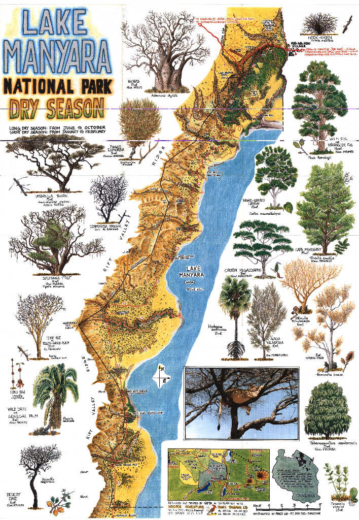
Coastal Regions & Zanzibar Archipelago
The coast is hot and humid year-round. Unlike the highlands, temperatures don’t change dramatically between seasons.
- Temperature: 23–32°C year-round, with February the hottest month
- Sea temperature: 25.5°C (August, coolest) to 29.5°C (February–March, warmest)
- Winds: Southeast trade winds (“kusi“) from June through October, the most pleasant season: dry, slightly cooler, consistent breezes. Northeast monsoon (“kaskazi“) from December through March, bringing hotter, more humid conditions
- Best months: June–October and January–February
- Wettest period: Long rains in March–May, with April the heaviest
Central Plateau (Dodoma)
Not on most safari itineraries, but useful context: Tanzania’s interior is far drier than most people expect.
- Rainfall: Only about 607 mm per year, the driest region in the country. Droughts are common
- Temperature: 18–30°C, with more dramatic day-night swings than the coast
- Rainy season: A single season from November through April (unimodal pattern)
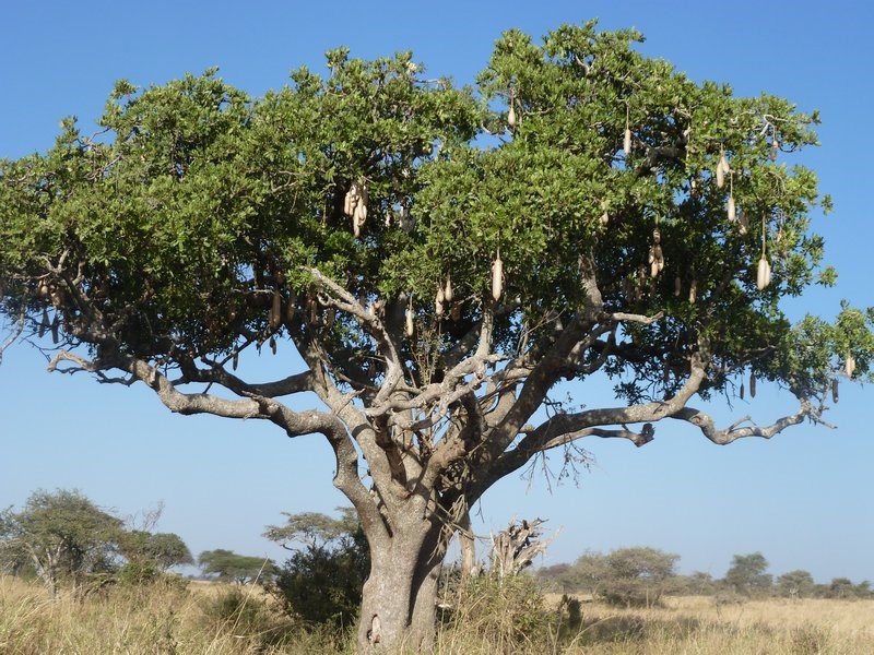
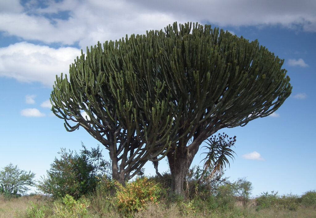
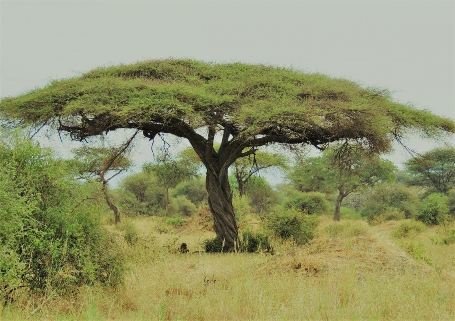
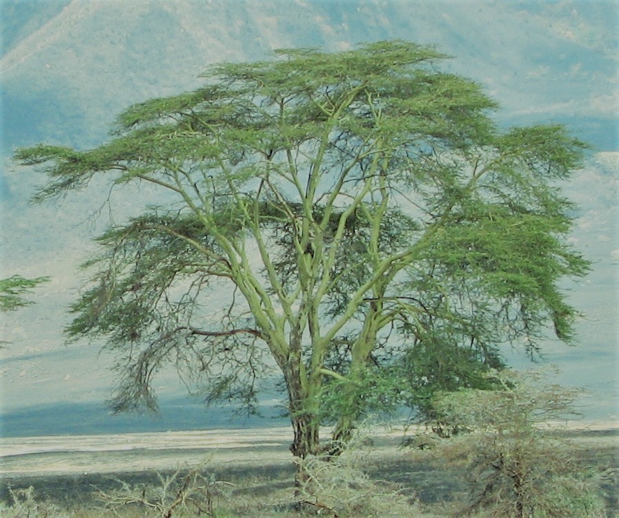
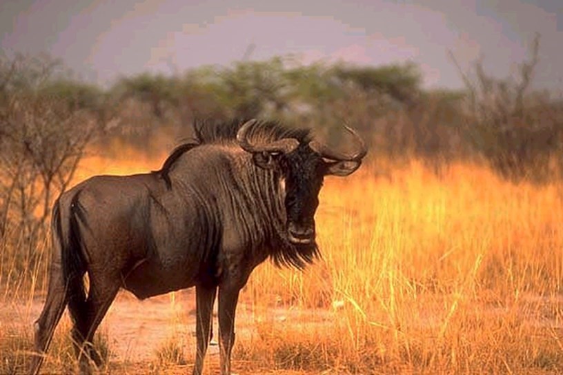
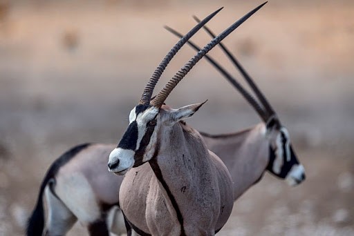
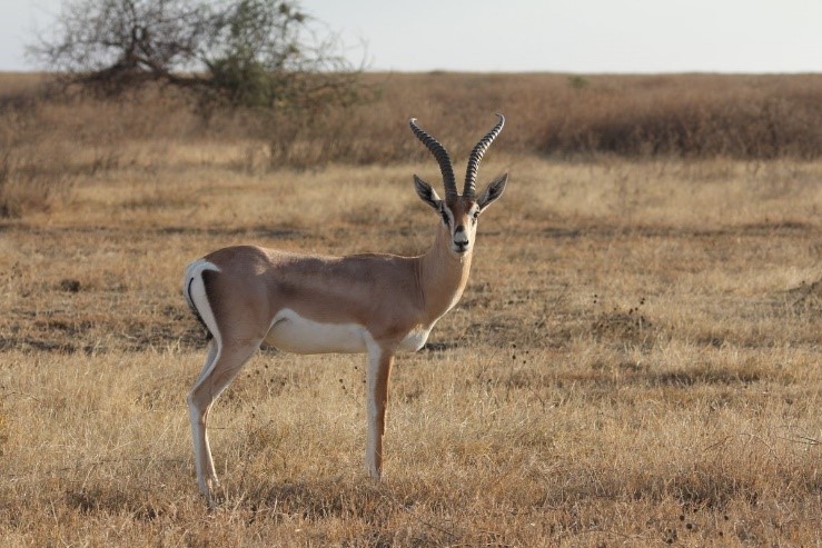
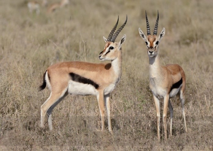
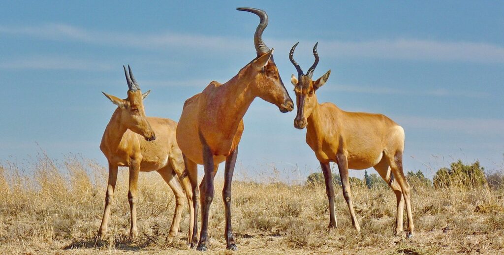
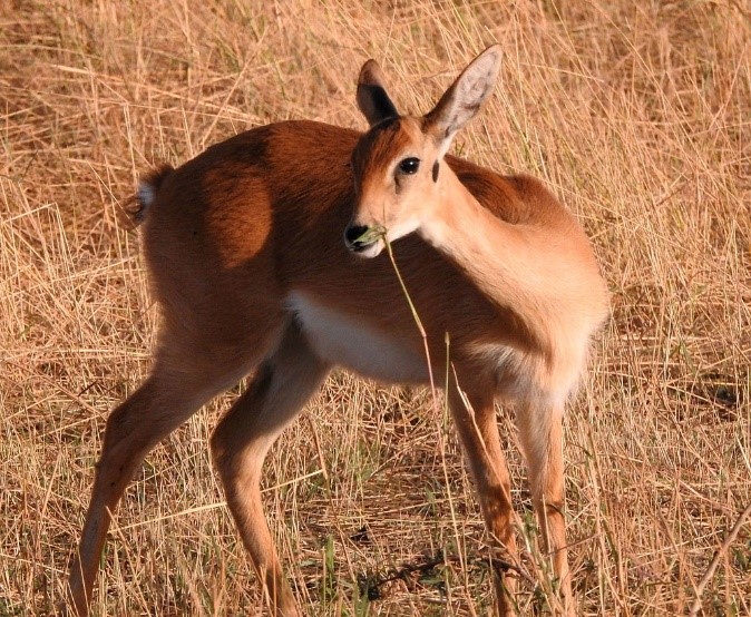
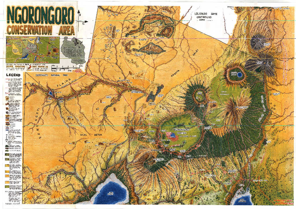
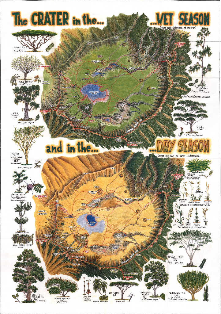
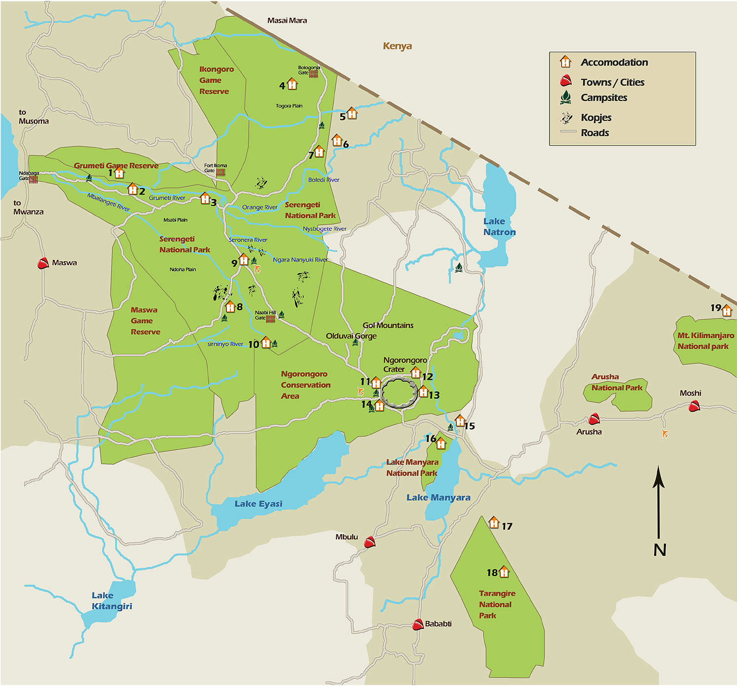
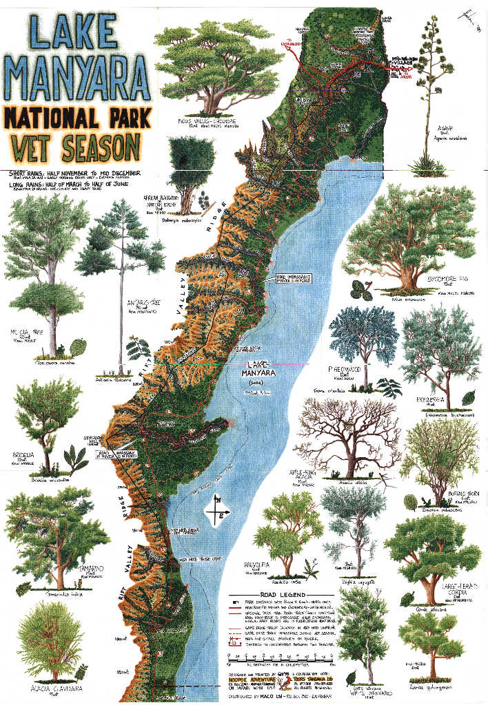
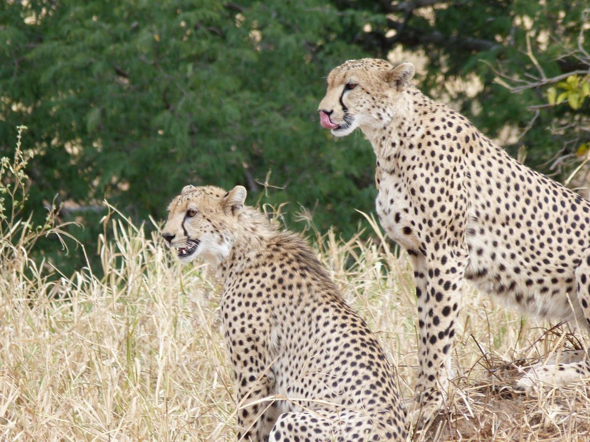
Highlands (Serengeti, Ngorongoro)
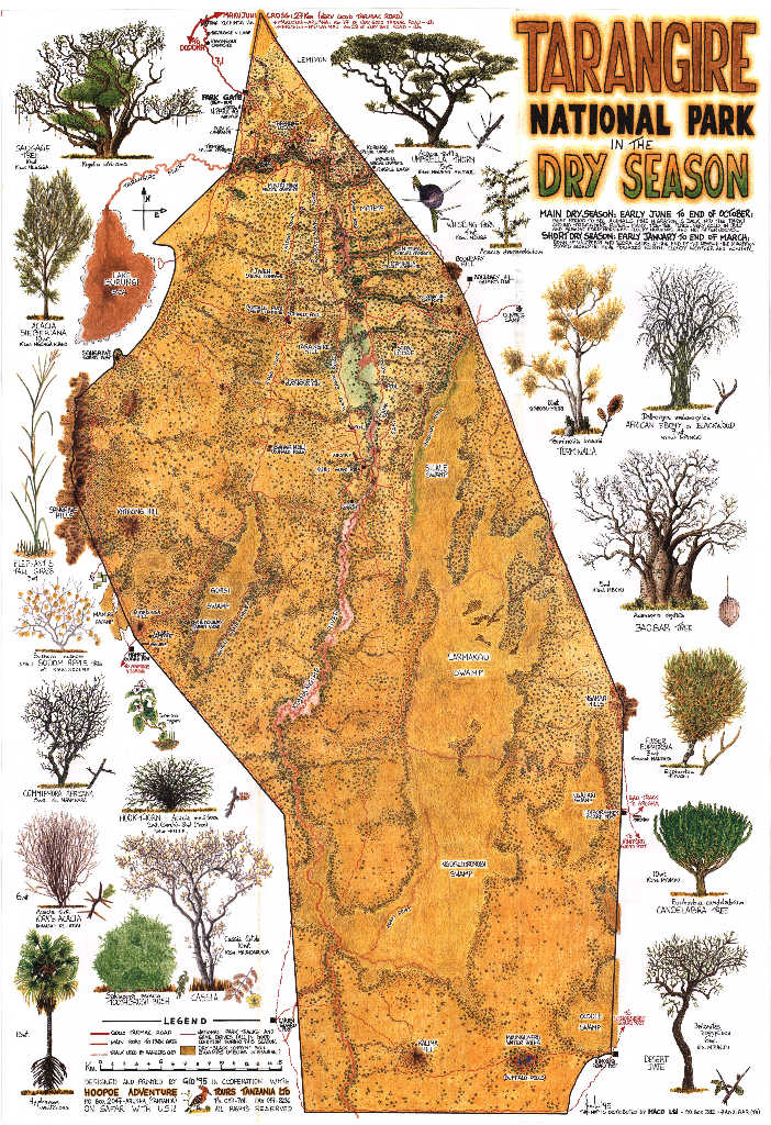
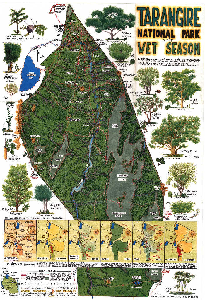
This is where most safaris take place, and where the climate surprises people the most. The Northern Circuit also includes Tarangire and Lake Manyara, which share similar highland conditions at slightly lower elevations.
Serengeti (1,100–2,000 m):
- Daytime: 20–29°C, comfortable in a t-shirt by mid-morning
- Nights: 14–16°C, cool, especially during the dry season
- Rainfall: Varies dramatically by zone. Under 800 mm in the semi-arid South-East (near Olduvai Gorge), up to 1,400 mm in the North (near the Mara River)
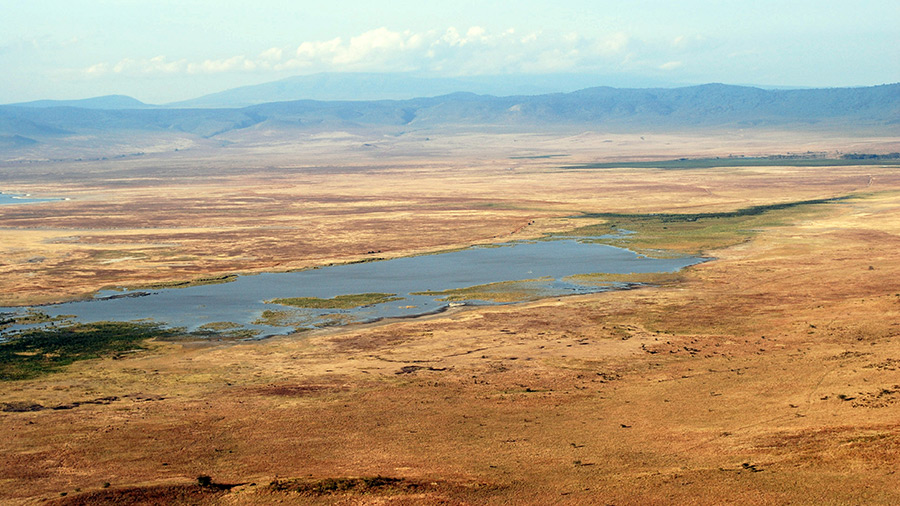
Ngorongoro (crater rim at 2,300 m):
- Mornings: 8–10°C in June/July, cold enough for a proper jacket
- Crater floor (1,700 m): Warmer than the rim, but the descent takes time
- Rain: Possible even in the dry season as isolated thunderstorms at altitude
I’ve watched travelers underestimate Ngorongoro and spend the first hour of the drive wishing they’d packed differently. If you take one piece of clothing advice from this article: bring a warm layer for morning game drives.
Mountain Zones (Kilimanjaro)
Kilimanjaro is its own climate system. From the park gate at around 1,800 m to the summit at 5,895 m, you cross five distinct ecological zones:
- Bushland (800–1,800 m): Warm and humid
- Rainforest (1,800–2,800 m): Wet and misty, heaviest rainfall on South/South-East slopes
- Moorland (2,800–4,000 m): Cool, open heathland
- Alpine Desert (4,000–5,000 m): Extremely dry, extreme day-night temperature swings
- Arctic/Summit (5,000–5,895 m): Permanently below freezing, temperatures can reach -29°C
Temperature on Kilimanjaro isn’t determined by the season. It’s determined by your elevation. You can start a day at 28°C at the base and finish in -15°C at high camp.
Best trekking months: June through October (primary window) and January through early March (secondary, milder but slightly less reliable). Avoid March through May: muddy trails, poor visibility, dangerous conditions.
Best Time to Visit
The “best” time depends entirely on what you’re planning to do. I go into much more detail in dedicated guides for each activity, but here’s a brief overview.
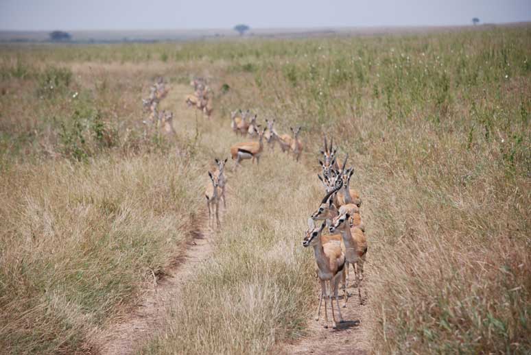
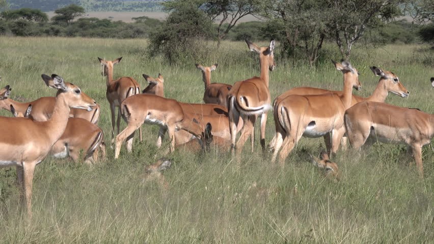
Wildlife Safaris
Different times of year offer different safari experiences:
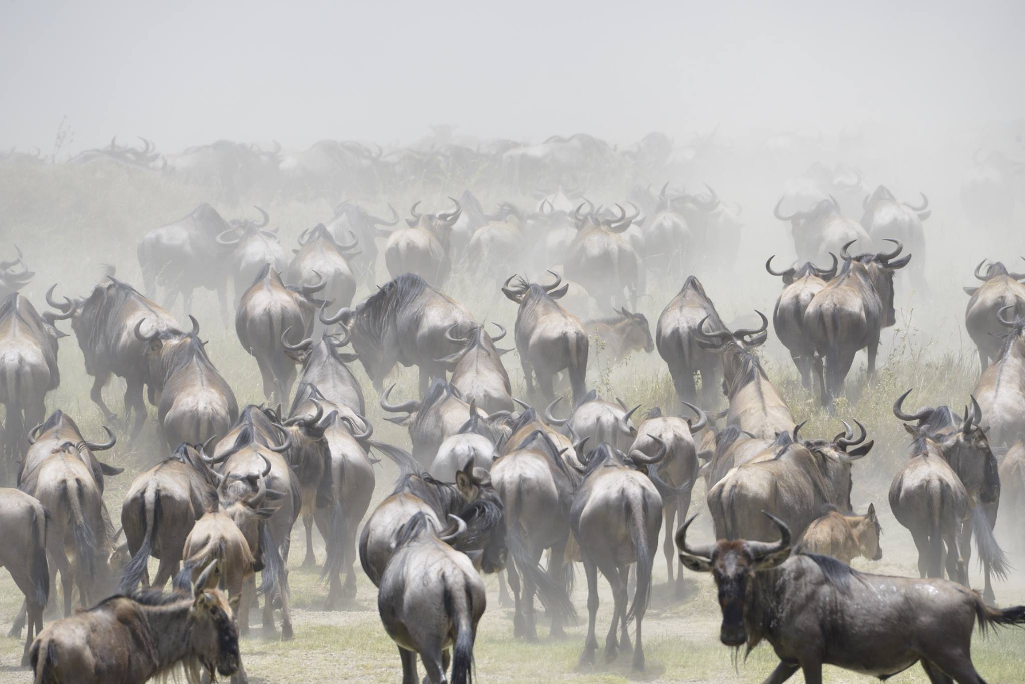
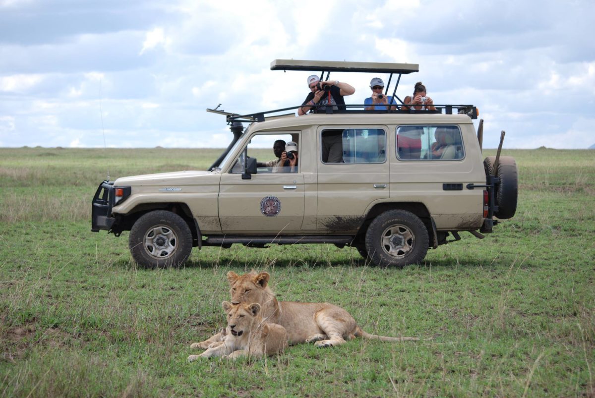
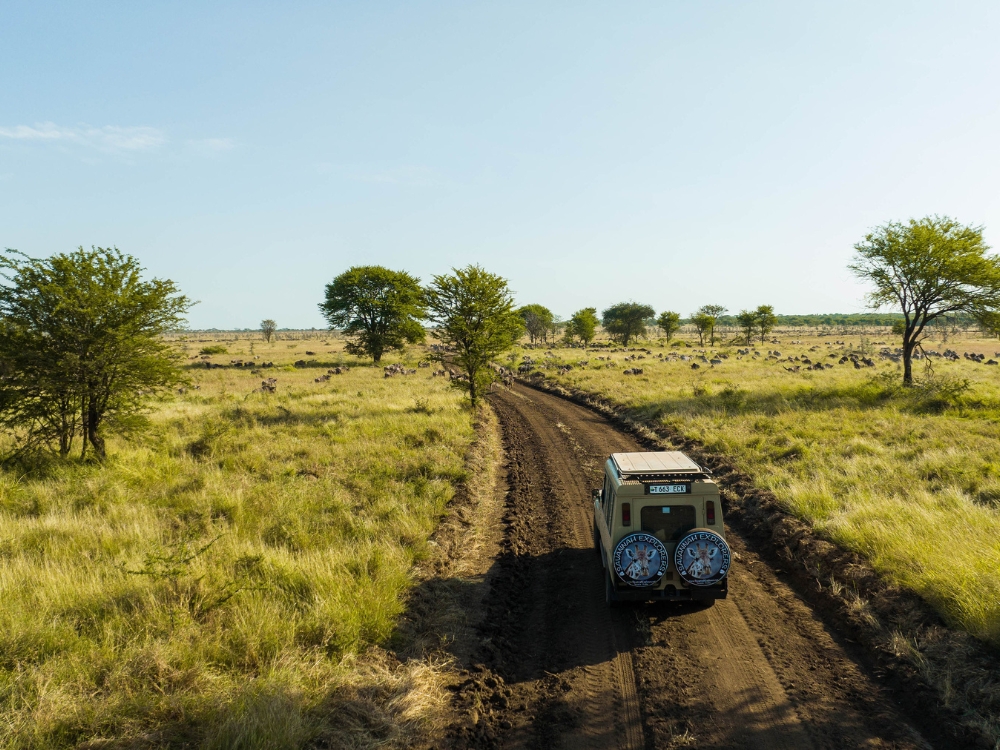
- The dry season (June–October) offers the best overall game viewing. Vegetation is shorter, animals concentrate around water sources, and roads are in good condition. July through September is peak season, which means more visitors and higher prices, but the wildlife viewing justifies both.
- January and February are excellent for the Southern Serengeti, where the wildebeest calving season draws predators and provides some of the most dramatic wildlife action of the year. Fewer tourists than peak season, and prices are lower.
- The long rains (March–May) are the quietest months. Game viewing is more challenging: tall grass, dispersed animals, some muddy roads. But the Serengeti stays open and accessible, birdwatching is superb, and prices are at their lowest.
The Great Migration runs year-round across different parts of the Serengeti ecosystem, so there’s always something happening regardless of when you visit.
Worth noting: January and February are the peak months for the Southern Serengeti, but the rest of the park is far less crowded, giving you wildlife sightings without a line of vehicles. As for the long rains, if you don’t mind occasional showers, you’ll be rewarded with lush green landscapes and total peace and quiet.
Zanzibar
June through October and January through February are the best months. Dry, warm, and ideal for both beach and water activities. Diving and snorkeling visibility peaks in January and February.
The long rains from March through May make beach time less reliable. Heavy downpours are frequent, especially in April.
Kilimanjaro Trekking
June through October is the primary trekking season: drier trails, cooler temperatures, and better summit visibility. January through early March is a solid secondary window, slightly warmer at the base, with clear conditions at altitude before the long rains set in.
Avoid March through May for Kilimanjaro. Muddy trails, poor visibility, and slippery conditions make it unsafe and unpleasant.
Tropical Cyclones
Tanzania’s coast falls within the South-West Indian Ocean cyclone season (November to April), but landfalls are rare. Only six direct landfalls have been recorded in over 150 years, most recently Cyclone Hidaya on Mafia Island in May 2024. The northern safari parks are inland and at altitude, so they are not affected by cyclone activity. Coastal travel in April and early May carries a very low but non-zero risk of indirect effects such as stronger winds and heavier rain.
Tanzania Climate Month by Month
Each month in Tanzania brings different conditions, different wildlife patterns, and different opportunities. I’ve written a detailed guide for every month of the year, covering specific temperatures, rainfall data, safari conditions, and practical advice for planning your trip.
- Tanzania in January: Calving begins, Southern Serengeti
- Tanzania in February: Hottest month, peak calving season
- Tanzania in March: Long rains arrive, herds shift toward Central Serengeti
- Tanzania in April: Wettest month, lowest prices
- Tanzania in May: Rains ease, wildebeest rut begins
- Tanzania in June: Dry season starts, high season begins
- Tanzania in July: Peak season, Mara River crossings begin
- Tanzania in August: Peak safari continues, busiest month
- Tanzania in September: Late dry season, fewer crowds, last Mara crossings
- Tanzania in October: Dry season ends, shoulder-season value
- Tanzania in November: Short rains, green season
- Tanzania in December: Warm and green, herds return south
Roberto De Sibi is the co-founder of Savannah Explorers, a safari operator based in Arusha, Tanzania. He has lived and worked in Tanzania since 2012.
Sources
Climate data referenced in this article comes from the following sources:
- Tanzania Meteorological Authority (TMA)
- Climates to Travel: CRU data, University of East Anglia
- Blue Green Atlas: WMO data
- Climate-Data.org: 1991–2021 averages
- WorldData.info: German Weather Service
- World Bank Climate Change Knowledge Portal: CRU 1991–2020