The United Republic of Tanzania leads the Indian Ocean and is bordered to the north by Kenya and Uganda to the West by Burundi, Rwanda and Democratic Republic of Congo, to the south by Zambia, Malawi and Mozambique.
Time zone: + 2:00 hours ahead of CET time.
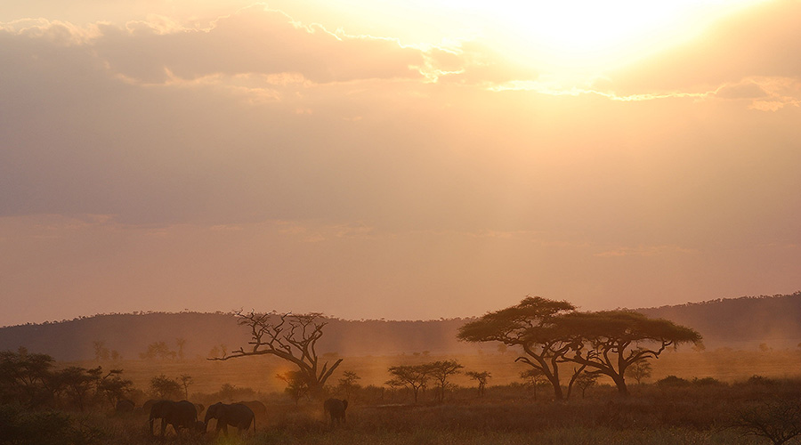
Tanzania is divided into several well-defined regions: the coastal plains, which have a lush tropical vegetation, the Maasai steppe to the North, 200-1000 meters above sea level, and a plateau to the South towards Zambia and Lake Nyasa . Savannah and bush cover the remaining area. There are a North-South and a South-West volcanic highlands and over 53,000 sq km are submerged lands prevalent formed by lakes in the Great Rift Valley.
The United Republic of Tanzania includes the islands of Zanzibar, Pemba and Mafia, about 45 km from the North-Eastern coast of the country.
Tanzania was established in 1964 by the union between Tanganyika and Zanzibar. There are over 120 tribes in this land, and most of them migrated from other parts of Africa. The first Europeans were the Portuguese who controlled most of the coastal area, the Portuguese also controlled Zanzibar until 1699 when they were pushed out from the island by Omari Arabis. At the end of the 19th century, along with Rwanda and Burundi, Tanganyika was part of Germany’s colonies in East Africa after the treaty between England and Germany.
The Following defeat of Germany in World War II, the territory was administered by the British under the UN mandate. Tanganyika became independent from the Commonwealth in 1961 after a period of self-government in which the main political party, the Tanganyika African National Union (TANU), emerged as the dominant political force. Its charismatic leader, Julius Nyerere, occupied the position of Chairman since independence day until 1985. In 1964, Tanganyika and Zanzibar gave rise to a new state, Tanzania.


